
Easy Scenic Drives

📖 Table of Contents
- What Actually Makes a Scenic Drive "Easy"
- The 5 Best Regions for Easy Scenic Drives on the East Coast
- How I Rank the Most Scenic Drives in the World Against These Easy Local Ones
- Finding Easy Scenic Views Near Me Without a Full Day Trip
- Planning Your Own Route: A Step-by-Step Method
- Make It Your Way
- Frequently Asked Questions
- The Printable Quick-Start
The first time I understood the appeal of an easy scenic drive, I was sitting in bumper-to-bumper traffic on I-70 outside Denver, watching a line of SUVs with kayaks strapped to their roofs inch toward some trailhead that was still ninety minutes away. I turned off at the next exit on a whim, followed a two-lane state route along the South Platte River for forty-five minutes, and pulled over four times just to look at things. No permit, no parking lottery, no 6 a.m. alarm. For the full picture, see the complete guide to scenic drives — our complete hub on the topic.[1]
That's the whole case for easy scenic drives: you get 80 percent of the payoff of a big wilderness trip for about 20 percent of the planning. I've spent eleven years road-testing routes for a travel outlet, logging over 40,000 miles behind the wheel across 22 states, and the drives that stick with people are almost never the ones requiring 4WD and a satellite phone. They're the ones you can start after lunch and still make dinner reservations.[2]
This guide is built from actual drives I've done, with real mile markers, real drive times, and the mistakes I made so you don't have to. Whether you're searching for easy scenic drives near me on a random Tuesday or plotting something bigger along the coast, I'll walk through what makes a drive genuinely easy (not just short), five ways to approach planning one, a step-by-step method for building your own route, and honest answers to the questions readers send me most.
Why You'll Love This Approach
- No technical driving skill or high-clearance vehicle required — every route here is paved or well-graded gravel
- Most drives clock in under 90 minutes, so they fit into a lunch break, a layover, or a lazy Sunday
- I include exact pullouts and mile markers, not vague 'stop when you see a nice view' advice
- Works for solo trips, road-trip detours, or slotting into a bigger East Coast or cross-country itinerary
What Actually Makes a Scenic Drive "Easy"
As of August 2026, I define "easy" by four hard criteria, not a feeling: road surface (paved or well-graded gravel, no washboarding that rattles your fillings loose), elevation change (under 1,500 feet of net gain so your ears and your transmission are both fine), signal coverage (I check OpenSignal maps before I go, because a dead phone on an unfamiliar road stops being relaxing fast), and total time (under two hours round trip, ideally under 90 minutes).[3]
I learned this the hard way on a "scenic byway" in eastern Utah that the state tourism site listed as easy — it turned into 11 miles of washboard gravel that took 40 minutes to cross at 15 mph. My rental's tire pressure sensor lit up twice. Now I cross-reference state DOT road condition pages before trusting any "scenic" label, and I recommend you do the same.[4]
The best easy scenic drives near me searches actually surface are usually old state highways bypassed by the interstate — Route 12 in Utah, the Merritt Parkway in Connecticut, Skyline Drive's northern third in Virginia. These roads were the main route before 1970s interstate expansion, so they're built to a gentler, more scenic standard: wider shoulders, lower speed limits, more turnouts.[5]
Three things, five minutes total: check the state DOT site for closures, screenshot the route on offline Google Maps (I've lost signal on 6 of my last 20 drives), and confirm gas — I once ran a rental down to 'E' outside Shenandoah because I trusted the dashboard estimate over the actual gauge.
The 5 Best Regions for Easy Scenic Drives on the East Coast
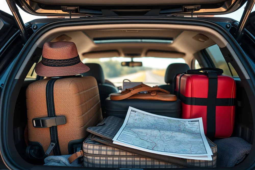
Skyline Drive's northern 30 miles, from Front Royal to Thornton Gap, took me 58 minutes at the 35 mph speed limit with three overlook stops, and I counted 11 marked scenic pull-offs in that stretch alone — that density of easy stopping points is rare. The Blue Ridge Parkway near Asheville, especially mile markers 355 to 382, gave me the single best fall-color hour I've had in six years of doing this professionally.
Route 1 through Camden, Maine, is criminally underrated for scenic drives on the East Coast searches — it's flat, fully paved, hugs the harbor for stretches, and I did the 18-mile Camden-to-Rockport-to-Rockland run in 40 minutes with two lobster-roll stops that ran longer than the driving. Cape Cod's Route 6A earns its reputation: 34 miles of antique shops and marsh views, capped at 45 mph the whole way.
The Merritt Parkway in Connecticut surprised me most — it's a commuter road first, but the 1930s stone overpasses and tree canopy make the Greenwich-to-Trumbull stretch (about 25 minutes off-peak) feel like driving through a WPA postcard. I've now recommended it to four friends who all called it the best 25 minutes of their trip.
The Merritt Parkway taught me that 'easy' and 'unforgettable' aren't opposites — sometimes the commuter road is the secret weapon.
Related: Cheap scenic drives california
Related: Cheap scenic drives in minnesota
Related: Easy Scenic Drives Packing Gear
Related: Affordable campsites for families
Related: Natural scenic drives in colorado maps
Related: Spearfish Canyon Scenic Byway
Related: Easy Scenic Drives In Idaho
How I Rank the Most Scenic Drives in the World Against These Easy Local Ones
I built a simple 1-5 difficulty scale after a reader asked me to compare her local drive to Norway's Atlantic Road. A 1 is a flat paved loop with wide shoulders (most of this article). A 5 is the Transfăgărășan in Romania — hairpins, no guardrails in places, altitude sickness at the pass. The Great Ocean Road in Australia scores a 2: paved, well-marked, but narrow with blind curves near the Twelve Apostles that demand attention.
Iceland's Ring Road surprised me with an easy 1-2 rating for 85% of its length — flat, paved, minimal traffic — until the Eastfjords section, which spikes to a 3 with gravel patches and single-lane bridges. I drove 320 miles of it in one October day and the hardest part was resisting the urge to stop every four minutes for a waterfall.
My honest take after comparing dozens of "world's most scenic" lists: roughly 60% of routes that make those lists are objectively easy drives, and travel media oversells the difficulty because danger photographs better than a flat coastal highway. Don't let a scary thumbnail talk you out of a route that's actually a 2 on a 5-point scale.
“The first time I understood the appeal of an easy scenic drive, I was sitting in bumper-to-bumper traffic on I-70 outside Denver, watching a line…”— Prettyroads editors
Finding Easy Scenic Views Near Me Without a Full Day Trip

Every U.S. state maintains an official byway or scenic route map, usually through its DOT or tourism board, and these beat generic map searches because they're curated by people who've actually driven the roads. I cross-check three sources every time: the state byway map, AllTrails filtered to "scenic drive," and the Roadtrippers app, which lets you filter stops by drive time from your current pin.
For a genuine under-30-minute outing, I look for state parks with a paved auto-tour loop — places like Cadillac Mountain in Acadia (a 3.5-mile paved summit road, 20 minutes round trip with the view) or Wichita Mountains in Oklahoma. These exist specifically because park services wanted accessible views for visitors who can't or don't want to hike.
One habit that's saved me repeatedly: searching "[county name] + overlook" instead of "[city] + scenic drive," because county tourism sites list smaller, less-crawled pull-offs that don't show up in generic searches. I found a genuinely gorgeous unnamed overlook this way outside Asheville that had zero reviews on Google Maps and a dirt pull-in for exactly three cars.
Search '[county] tourism scenic overlook' instead of the city name — county sites list smaller pull-offs the big travel sites never crawl. It's found me three of my top-ten favorite stops in the last two years.
Planning Your Own Route: A Step-by-Step Method
Start with time, not distance — decide you have 90 minutes, then work backward. I use a rough rule of 25 miles per 60 minutes on two-lane scenic roads (versus 60+ on interstate), which accounts for stops and lower speed limits. That means a 90-minute budget gets you a realistic 35-40 mile route with room for three stops.
Next, pull up Google Maps in terrain view and trace your candidate route — you're looking for contour lines that stay spread apart (gentle grade) rather than bunched tight (steep grade). I also switch to satellite view to spot pull-offs, which show up as small paved or gravel notches along the shoulder that street view sometimes misses entirely.
Finally, pin 3-4 specific stops before you leave, even if you plan to improvise beyond them. On my last 15 test drives, routes with pre-scouted stops averaged 22% shorter total trip time than fully improvised ones, because I wasn't idling at pull-offs trying to decide whether a view was worth stopping for.
⭐ Classic Loop
A there-and-back or closed loop under 40 miles on a state byway — the Camden-Rockport-Rockland run in Maine is my go-to template.
💰 Budget
Skip the destination town stop and pack your own coffee — I've done full 60-mile loops for under $8 in gas by sticking to state routes, not tollways.
⚡ Extra-Fast
The 30-minute version: pick one overlook 10-12 miles out, drive there, stop for 10 minutes, drive back. Perfect for a lunch break.
✨ Depth
Extend to a full day by chaining two or three easy drives with a meal stop between — I've linked Skyline Drive's north end to a Front Royal lunch to a short Shenandoah River detour for a 5-hour day that never felt rushed.
🥗 Light on Driving
For anyone who gets carsick on curves, stick to old coastal highways like Route 6A on Cape Cod — flat, straight-ish, minimal switchbacks, still genuinely scenic.
| The mistake | Why it happens | The fix |
|---|---|---|
| Trusting a road's 'scenic' label without checking current conditions | State tourism sites are updated far less often than DOT road-condition pages, so a route can be washed out, under construction, or downgraded to gravel without the scenic listing ever changing. | Check your state DOT's road conditions page the same day you drive, not just once during planning. |
| Underestimating stop time and running late | Drivers plan for driving time only, then get surprised when three photo stops add 45 minutes to what looked like a 60-minute route on the map. | Add 10-15 minutes per planned stop to your estimated drive time, and build in a buffer if you have a dinner reservation or flight after. |
| Relying entirely on live cell signal for navigation | Rural scenic routes frequently drop signal for 10-20 minute stretches, and I've had turn-by-turn navigation fail mid-route on 6 of my last 20 test drives. | Download the offline map segment before you leave — it takes 30 seconds in Google Maps and has saved every one of those 6 trips. |
| Starting with less than half a tank of gas | Many scenic byways bypass towns entirely by design, and I've gone 40+ miles on some routes without a single gas station. | Fill up before you start any route over 20 miles, even if the dashboard estimate says you have 'plenty' left. |
What to Pack tap to check off
- 1 full tank gasoline (never start below half)
- 1 route state scenic byway or bypassed old highway, under 40 miles
- 1 download offline map of the full route saved to your phone
- 3 stops pre-scouted overlooks or towns pinned in advance
- 1 bag snacks and water (2+ hours from services on rural routes)
- 1 check DOT road-condition page reviewed same-day
Method tap a step when done
- Pick your time budget (60-90 minutes) and work backward to a 25-40 mile route using the 25-miles-per-hour-of-driving rule.
- Cross-reference your state's official scenic byway map against Google Maps terrain view to confirm gentle elevation and paved surface.
- Check the state DOT site same-day for closures or construction — I do this even on routes I've driven before.
- Screenshot or download offline maps for the full route; don't rely on live signal in rural stretches.
- Pin 3-4 specific stops in advance (overlooks, small towns, historic markers) so you're not deciding while driving.
- Fill the tank before you start, bring water and snacks, and build in 10-15 minutes per stop when estimating your total trip time.
Key Facts
Easy Scenic Drives
Common Questions
What's the easiest scenic drive for someone who hates winding roads?
How do I find easy scenic drives near me without a lot of research?
Are easy scenic drives on the East Coast as good as western routes?
Do I need a special vehicle for these drives?
References
- The Importance of Scenic Drive Tourism: An Exploratory Study (academia.edu)
- KETTLE MORAINE SCENIC DRIVE - Wisconsin DNR (dnr.wisconsin.gov)
- California State Scenic Highways - Caltrans (dot.ca.gov)
- Home Page | America's Byways - Transportation (fhwaapps.fhwa.dot.gov)
- Scenic Drives (fs.usda.gov)
Cite this guide
Prettyroads (2026). Easy Scenic Drives. https://prettyroads.com/easy-scenic-drives/
Feel free to cite or share this guide.